

A Digital Archive of the Art of the Sanborn Fire Maps
A complete digital archive of the famous typography from the Sanborn Fire Insurance Maps
About the Collection
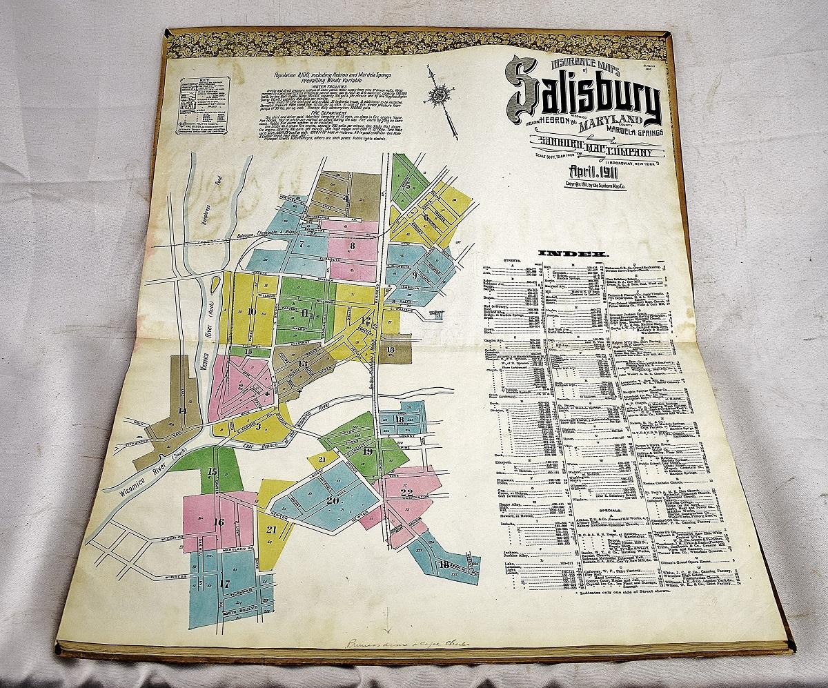
In the 19th century, Daniel Alfred Sanborn, a civil engineer and surveyor, created one of the most unique collections of maps in American history. These treasure troves of information were collected into over 50,000 volumes that showed the size, shape, and construction of nearly every building in 12,000 cities across the country. They represented the first version of today’s Google Maps but painstakingly drawn by hand and updated manually for nearly 50 years.
The Sanborn Fire Insurance Maps include over 700,000 unique sheets of maps that cover over 12,000 cities and make-up over 50,000 volumes. The vast majority of the collection has been digitized and over 30,000 of the images are housed at the Library of Congress and thousands more sit in local city and university libraries around the country.